Proppant Research Group
The data displayed below were collected during a joint project between the following departments at Montana Tech of The University of Montana: Geophysical Engineering and the Montana Bureau of Mines and Geology. The samples represent sandstones collected and analyzed for their potential use as proppant material.
| Sample Name | B49-1 | Site Name | B49-JG |
|---|---|---|---|
| Latitude | 45.27866 | Longitude | -107.92266 |
| Geomethod | MAP | Datum | NAD83 |
| Elevation | 4020 | Township | 06S |
| County | BIG HORN | Range | 31E |
| 100K Quad | LODGE GRASS | Section | 28 |
| 24K Quad | YELLOWTAIL DAM | Quarter Section | CD |
| Sample Taken | YES | ||
| Sample Date | 8/2/2014 | Formation Name | Tensleep Formation (IPt) |
| Sampler Name | JAY GUNDERSON | Sampler Notes | HAIRPIN CURVES FROM FT. SMITH TO OKEBEE; FINE GRND TENSLEEP SS |
| Thickness | 40 | Extent | 9999 |
| References | |||
| Meets API Minimum Standards | Minerology | ||||||||||||||||||||||||||||||||||||||||||||||||||||||||||||||||||||||||
|---|---|---|---|---|---|---|---|---|---|---|---|---|---|---|---|---|---|---|---|---|---|---|---|---|---|---|---|---|---|---|---|---|---|---|---|---|---|---|---|---|---|---|---|---|---|---|---|---|---|---|---|---|---|---|---|---|---|---|---|---|---|---|---|---|---|---|---|---|---|---|---|---|---|
| NO | QUARTZ | ||||||||||||||||||||||||||||||||||||||||||||||||||||||||||||||||||||||||
| Pre Wash Weight (g) | Post Wash Weight (g) | ||||||||||||||||||||||||||||||||||||||||||||||||||||||||||||||||||||||||
| 380.1 | 333.7 | ||||||||||||||||||||||||||||||||||||||||||||||||||||||||||||||||||||||||
| Material Notes | |||||||||||||||||||||||||||||||||||||||||||||||||||||||||||||||||||||||||
| USED CONE CRUSHER | |||||||||||||||||||||||||||||||||||||||||||||||||||||||||||||||||||||||||
|
Sieving Results Reported Sample Weight (g): 114.2
|
|||||||||||||||||||||||||||||||||||||||||||||||||||||||||||||||||||||||||
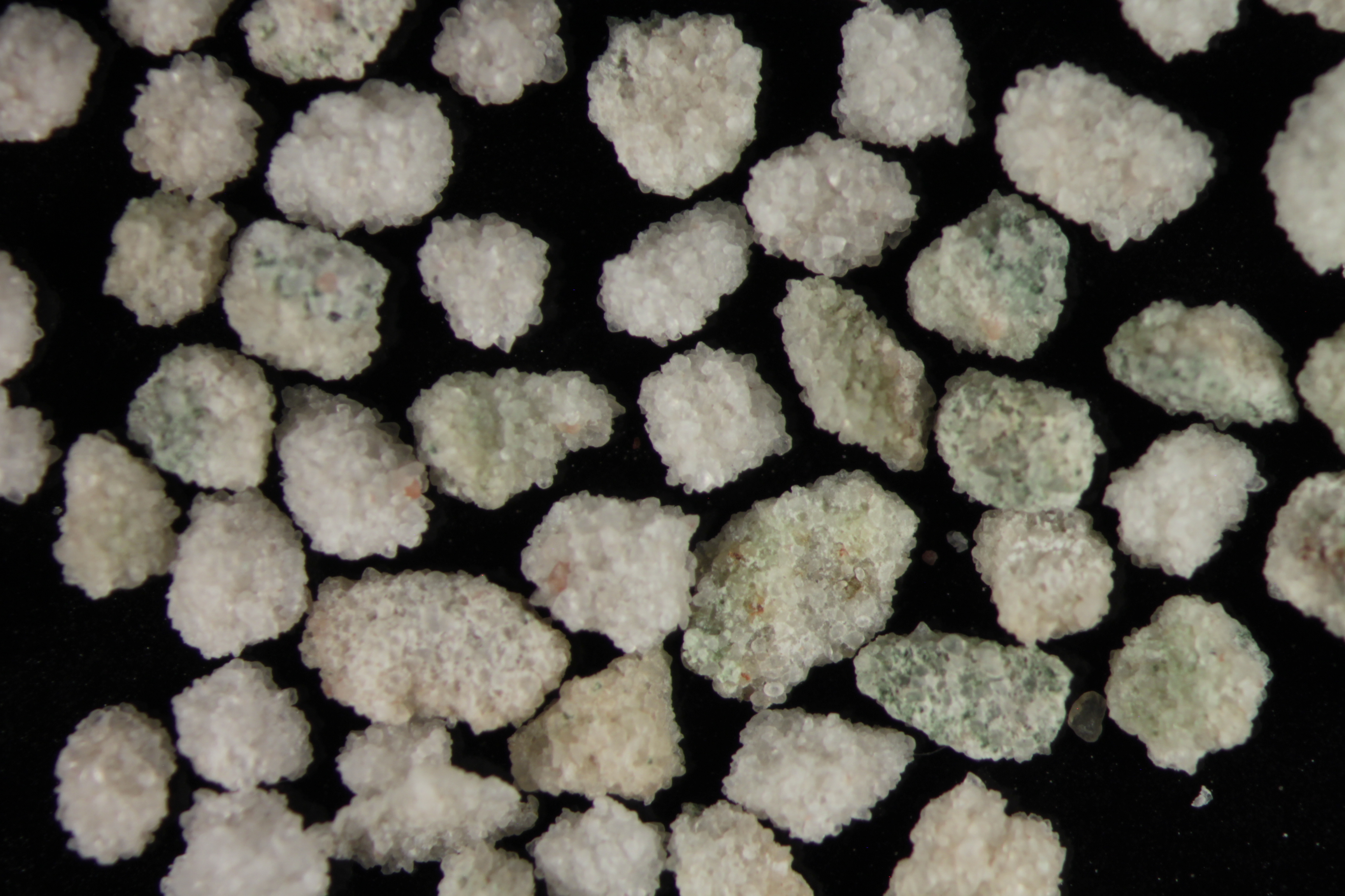
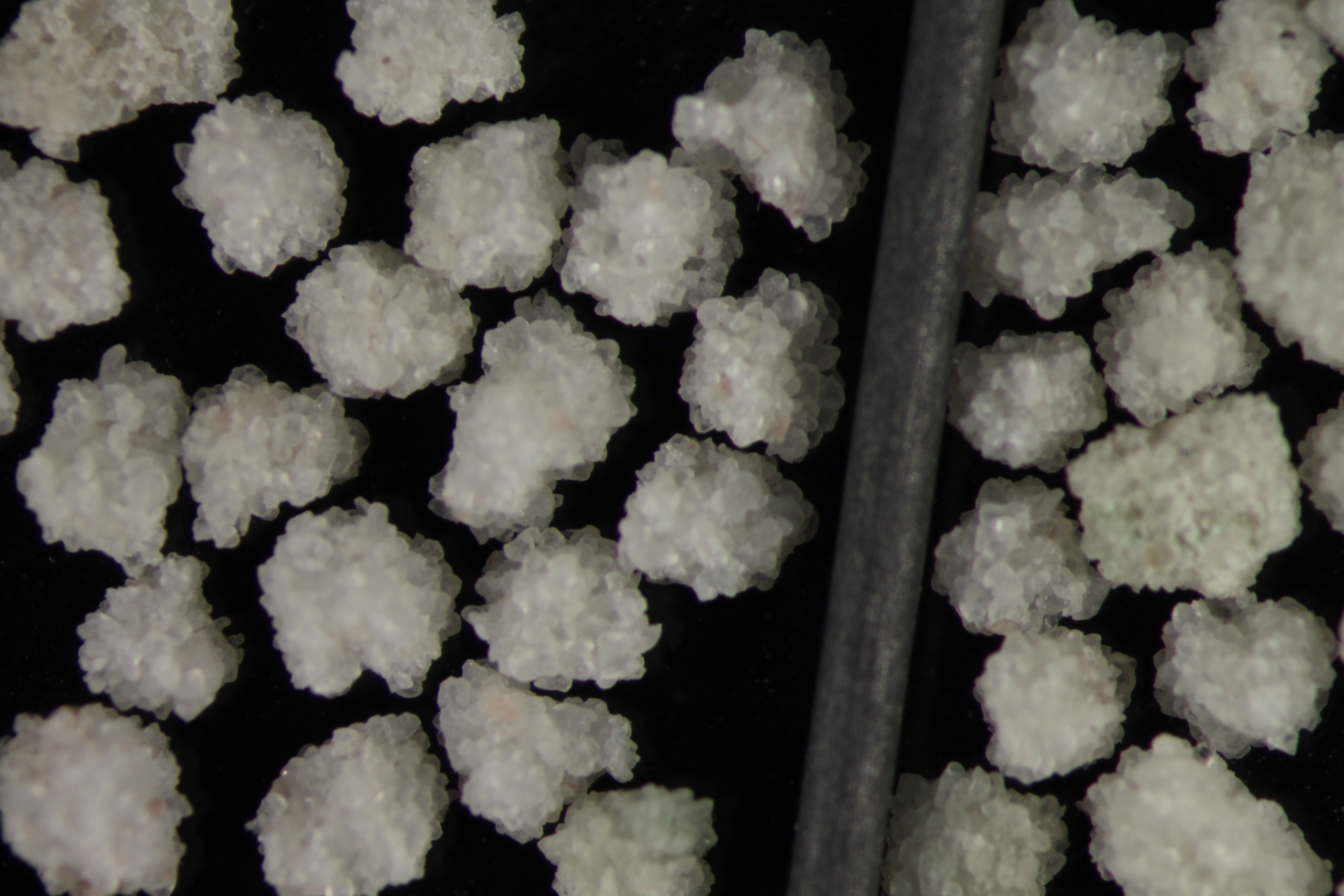
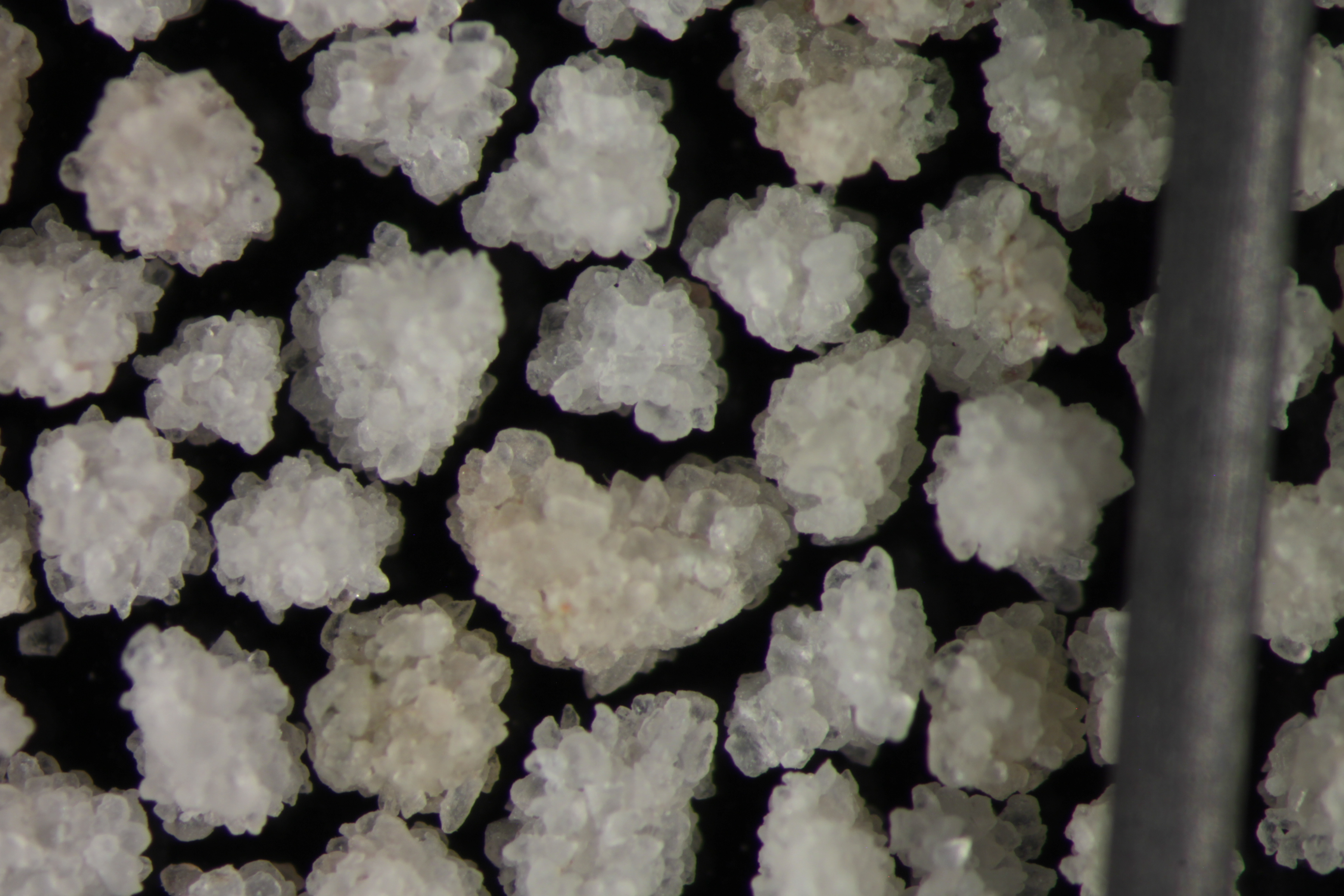
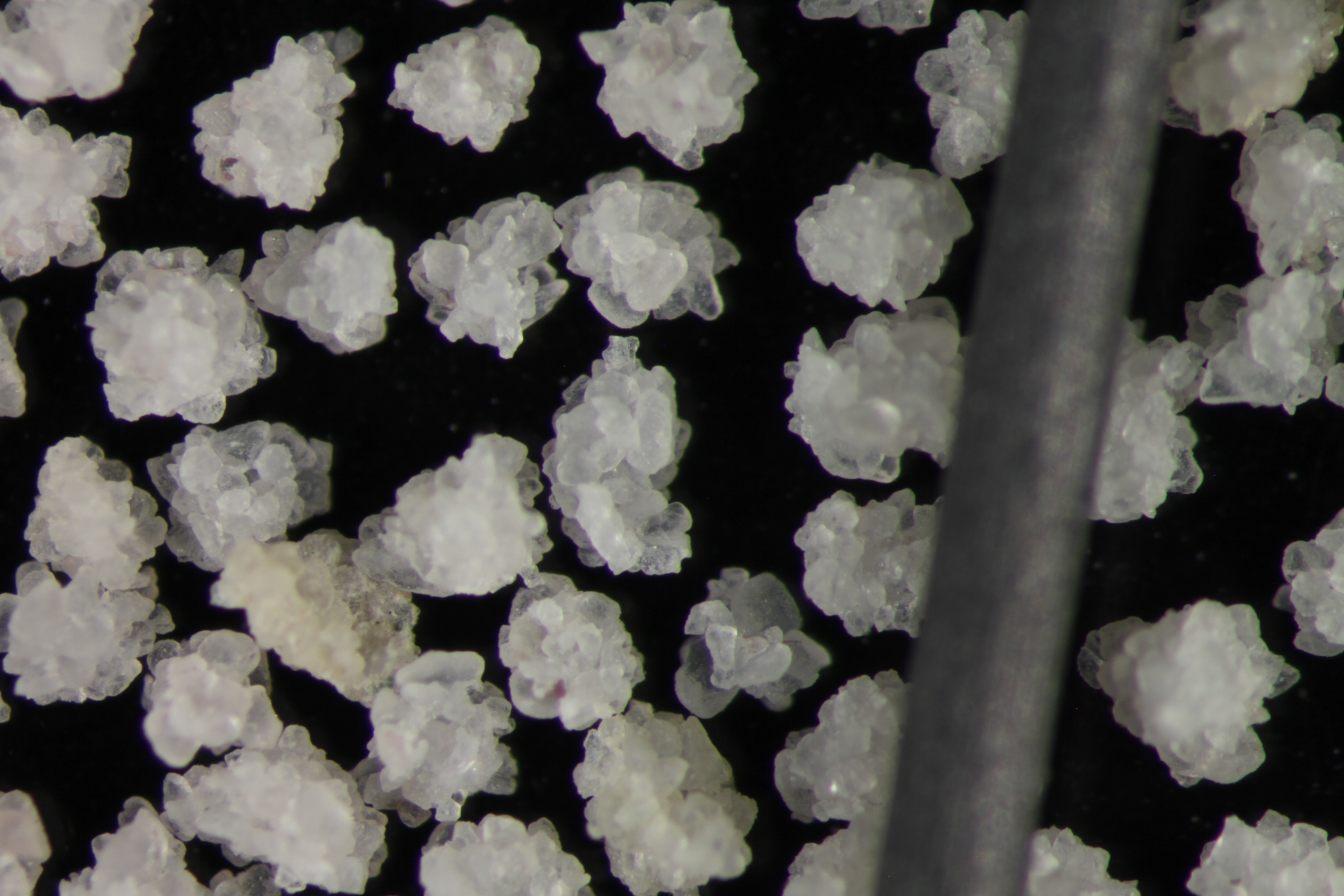
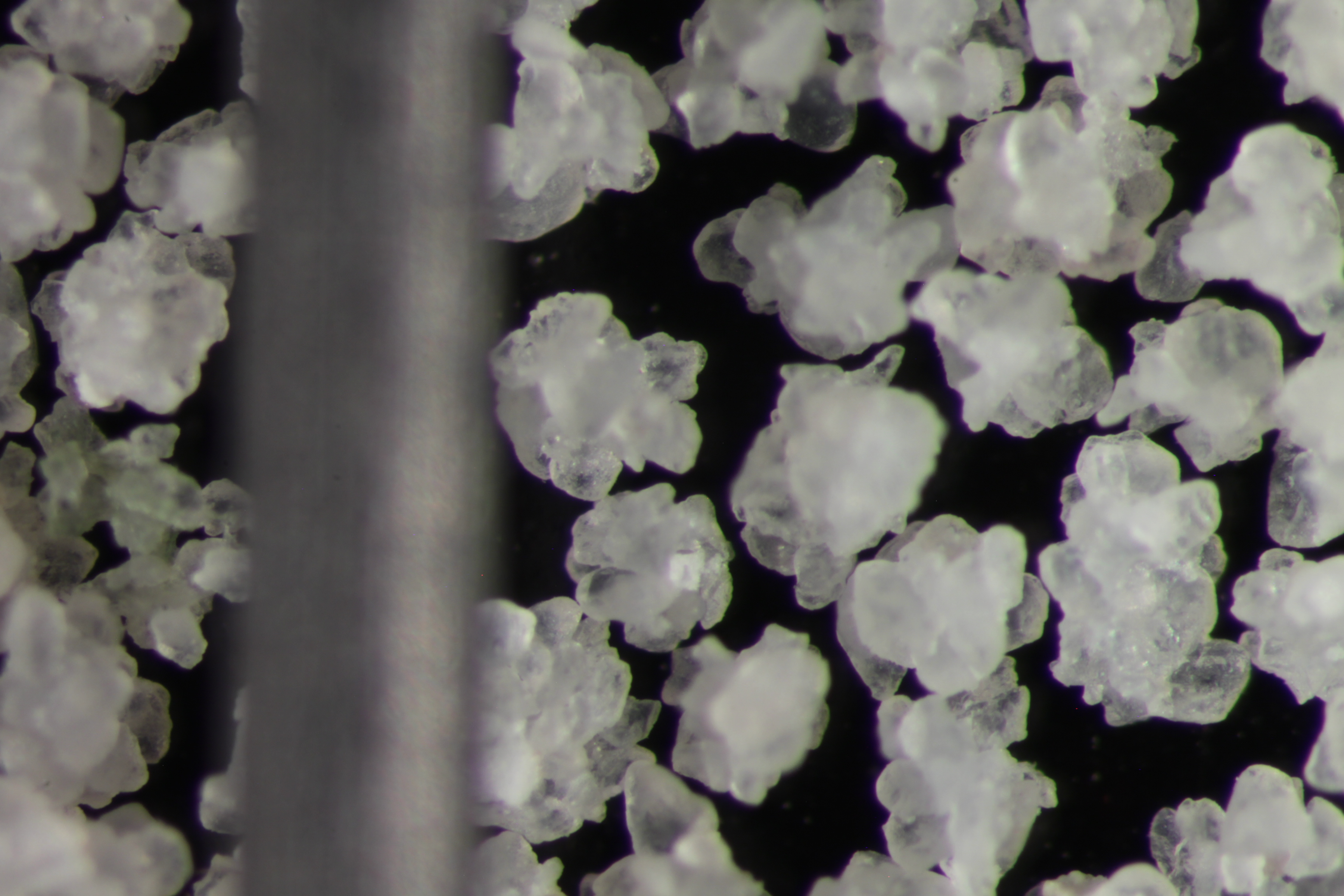
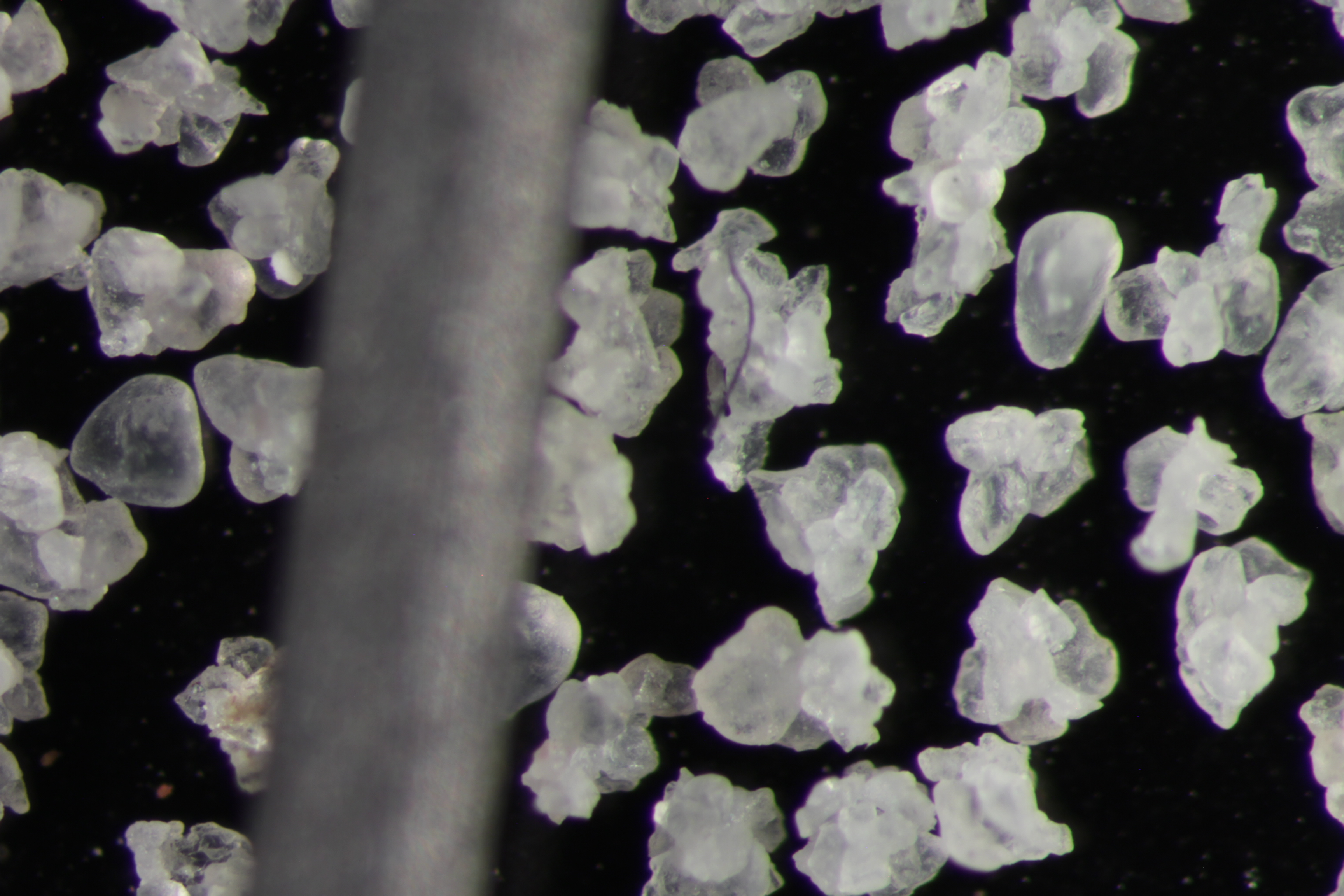
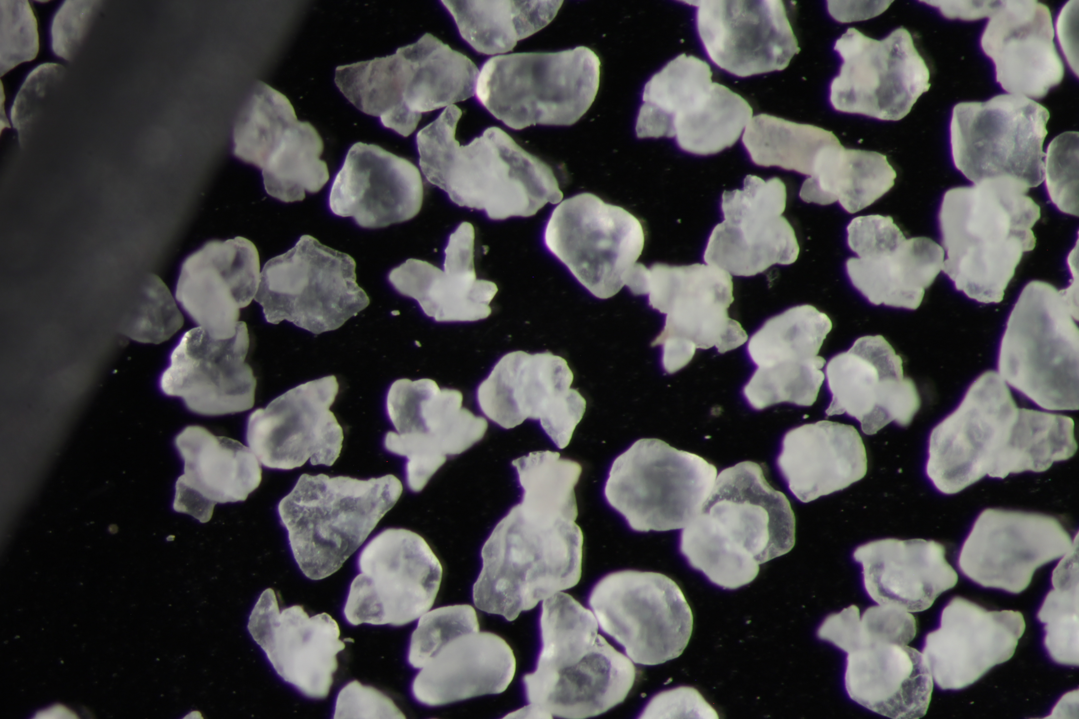
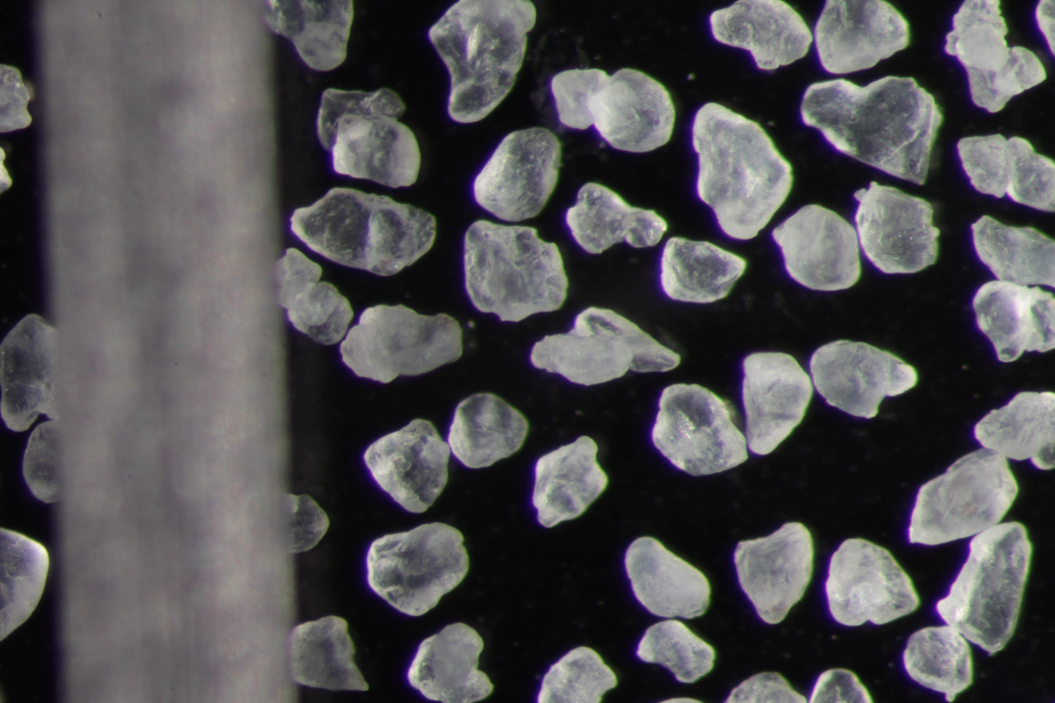
| Sphericity | 0.63 |
|---|---|
| Roundness | 0.66 |
| First Primary | 70 |
| Second Primary | 140 |
|
Available Documents  View document [B49_01_PRECRUSH0782015_12_14_11_36_49.pdf] View document [B49_01_SPHER_ROUND2015_12_14_11_38_2.pdf] View document [B49_01_PRECRUSH0782015_12_14_11_36_49.pdf] View document [B49_01_SPHER_ROUND2015_12_14_11_38_2.pdf] |
|