Proppant Research Group
The data displayed below were collected during a joint project between the following departments at Montana Tech of The University of Montana: Geophysical Engineering and the Montana Bureau of Mines and Geology. The samples represent sandstones collected and analyzed for their potential use as proppant material.
| Sample Name | GFS-25-SV-14 | Site Name | GFS-25-SV-14 |
|---|---|---|---|
| Latitude | 47.39356 | Longitude | -111.03321 |
| Geomethod | NAV-GPS | Datum | NAD83 |
| Elevation | 5326 | Township | 20N |
| County | CASCADE | Range | 05E |
| 100K Quad | BELT | Section | 25 |
| 24K Quad | STROUF ISLAND | Quarter Section | DD |
| Sample Taken | YES | ||
| Sample Date | 7/2/2014 | Formation Name | Kootenai Formation, Sunburst Member (Kks) |
| Sampler Name | SUSAN VUKE | Sampler Notes | ALONG SPRING CREEK RD, E OF SPRING CREEK |
| Thickness | ~20 FT | Extent | REGIONALLY EXTENSIVE BELOW RIMS |
| References | |||
| Meets API Minimum Standards | Minerology | ||||||||||||||||||||||||||||||||||||||||||||||||||||||||||||||||||||||||
|---|---|---|---|---|---|---|---|---|---|---|---|---|---|---|---|---|---|---|---|---|---|---|---|---|---|---|---|---|---|---|---|---|---|---|---|---|---|---|---|---|---|---|---|---|---|---|---|---|---|---|---|---|---|---|---|---|---|---|---|---|---|---|---|---|---|---|---|---|---|---|---|---|---|
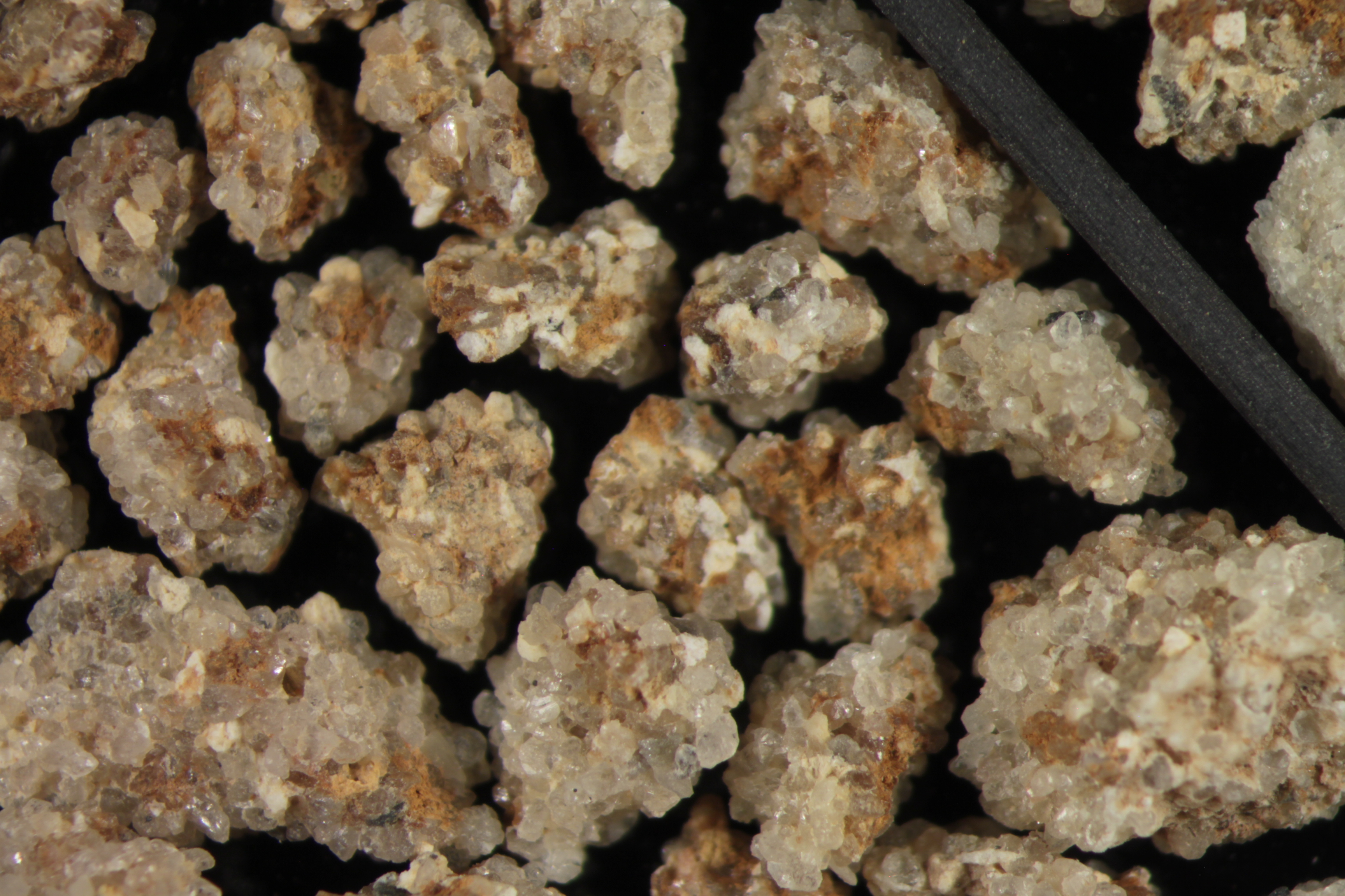
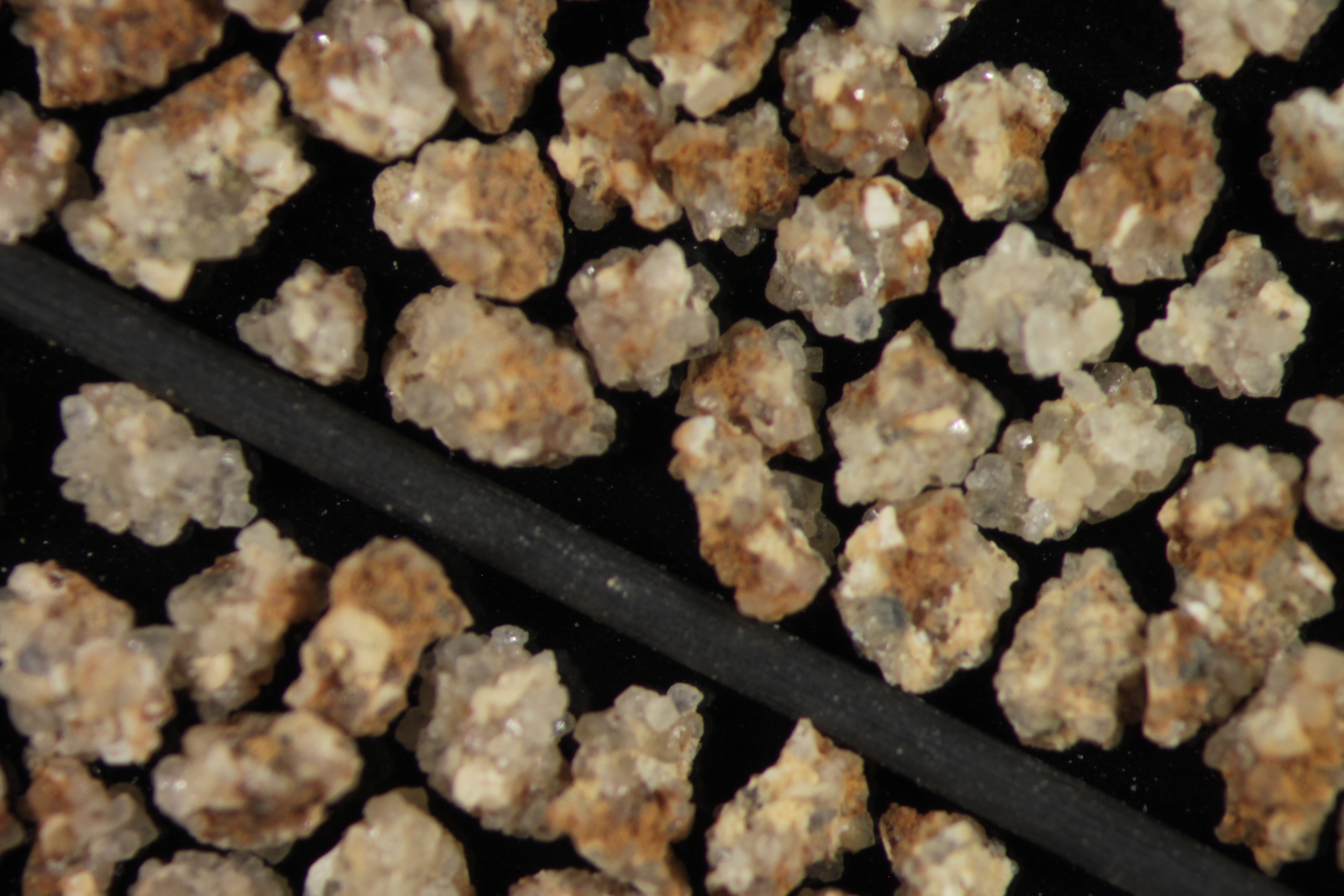
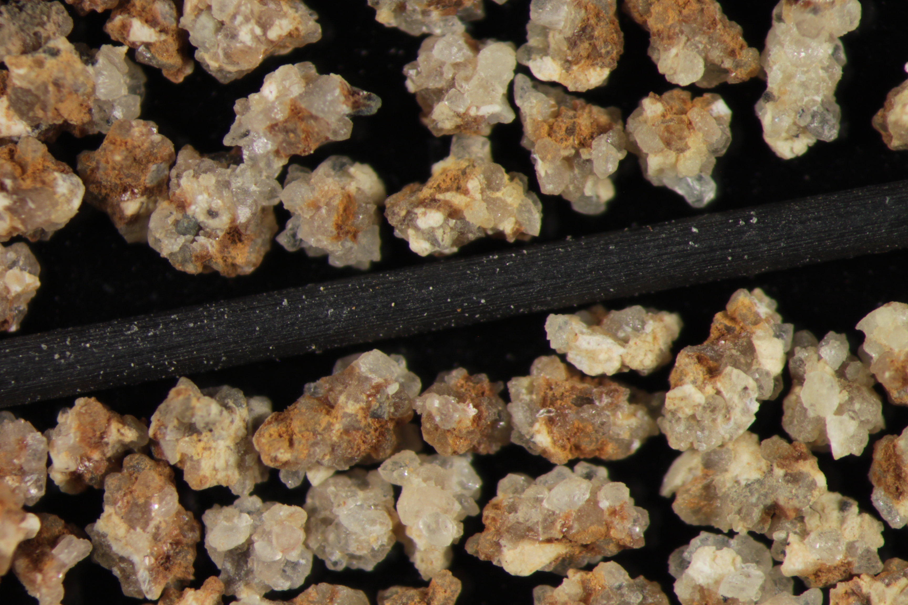
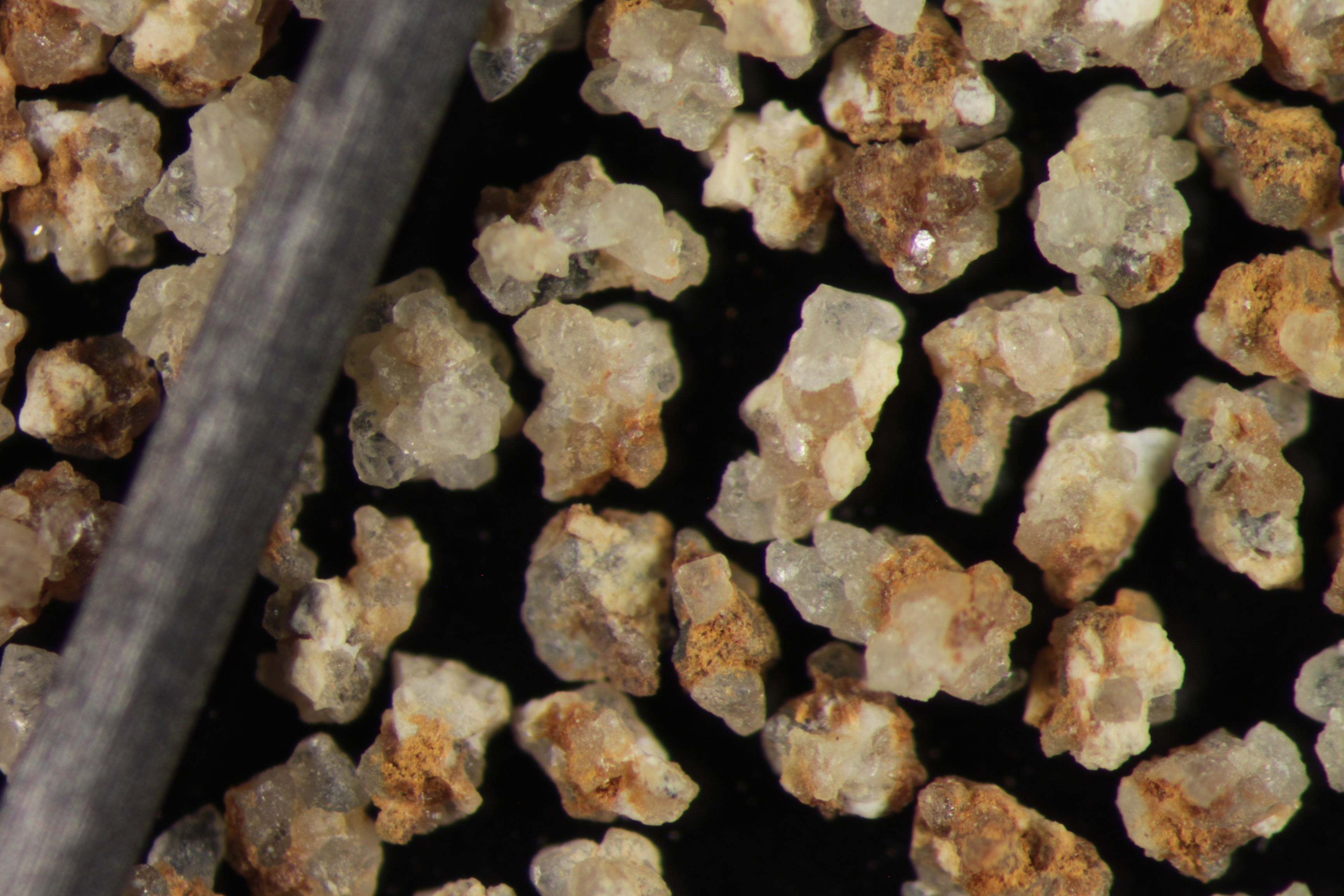
| NO | QUARTZ | ||||||||||||||||||||||||||||||||||||||||||||||||||||||||||||||||||||||||
| Pre Wash Weight (g) | Post Wash Weight (g) | ||||||||||||||||||||||||||||||||||||||||||||||||||||||||||||||||||||||||
| 1065.4 | 445.2 | ||||||||||||||||||||||||||||||||||||||||||||||||||||||||||||||||||||||||
| Material Notes | |||||||||||||||||||||||||||||||||||||||||||||||||||||||||||||||||||||||||
| USED CONE CRUSHER | |||||||||||||||||||||||||||||||||||||||||||||||||||||||||||||||||||||||||
|
Sieving Results Reported Sample Weight (g): 109.6
|
|||||||||||||||||||||||||||||||||||||||||||||||||||||||||||||||||||||||||
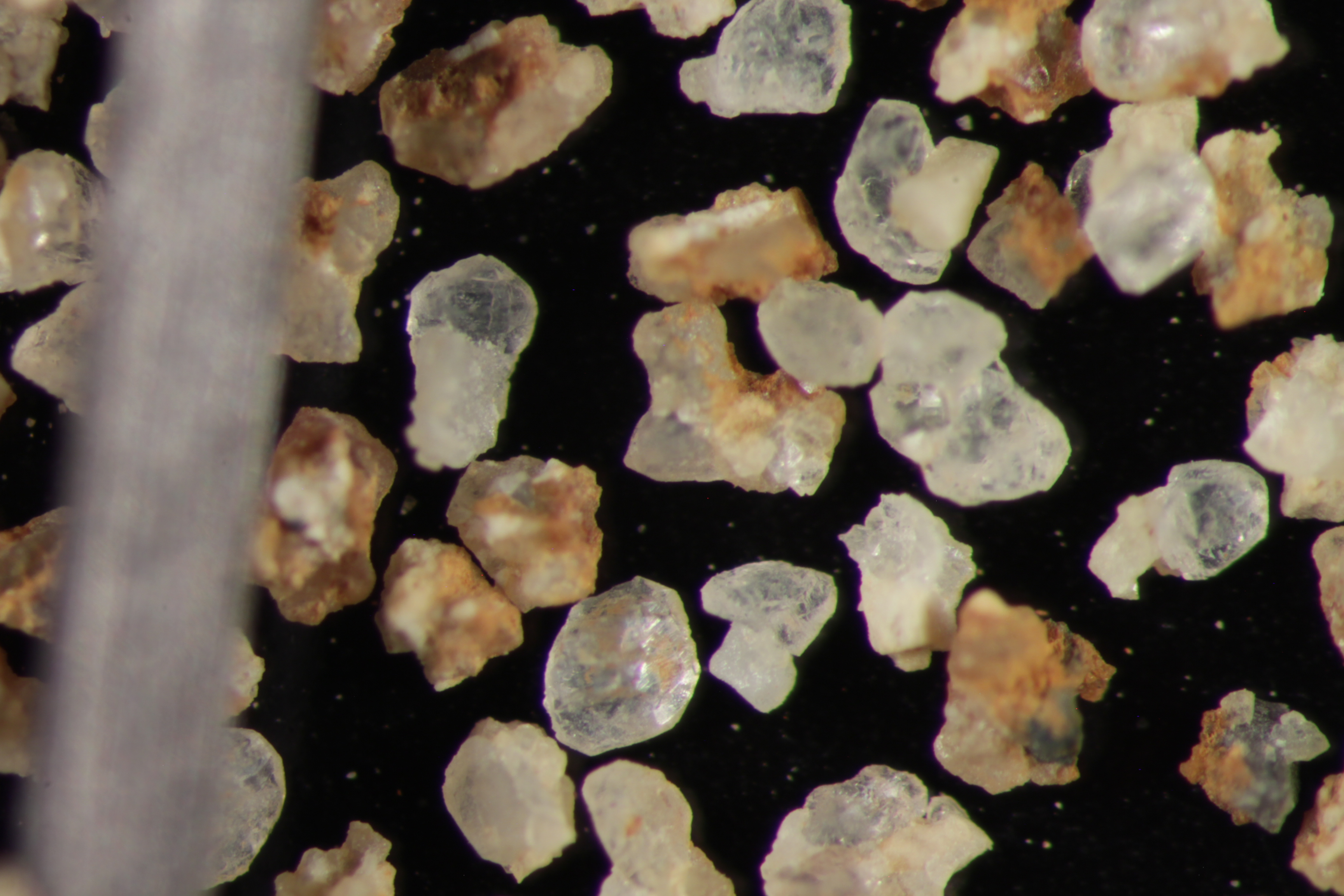
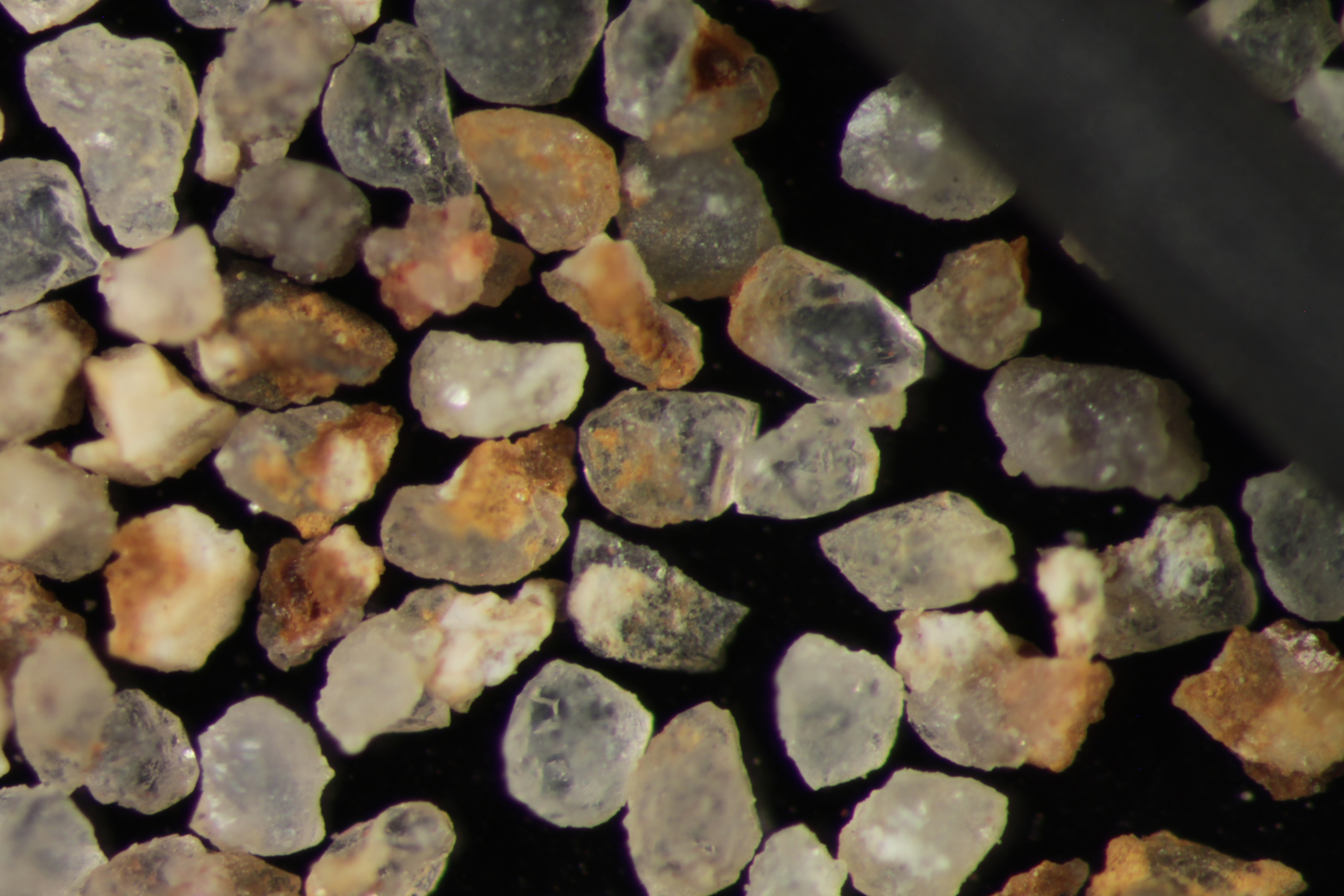
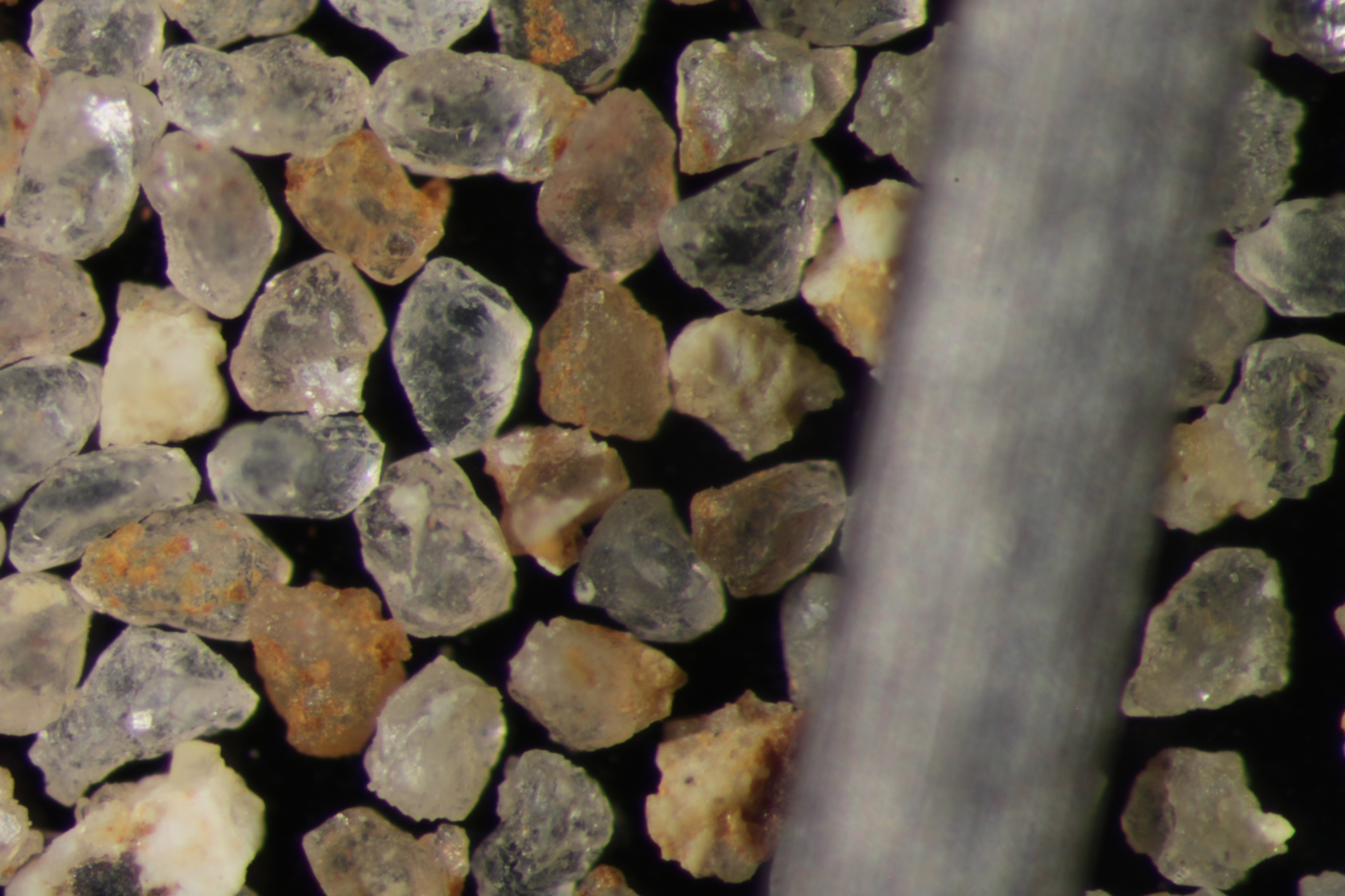
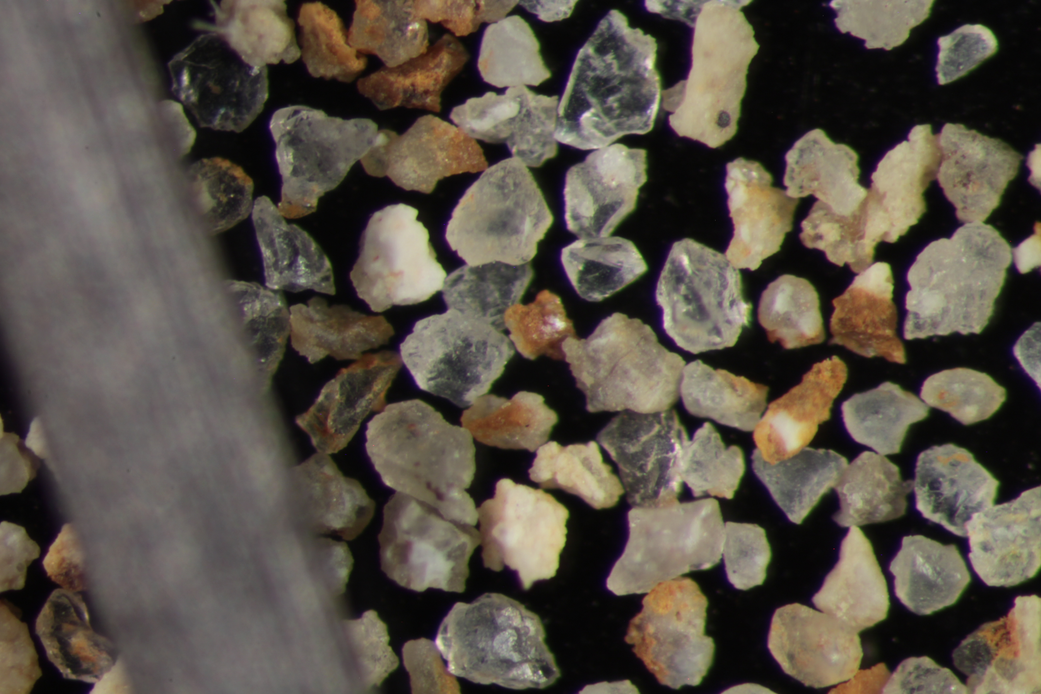
| Sphericity | 0.65 |
|---|---|
| Roundness | 0.59 |
| First Primary | 40 |
| Second Primary | 70 |
|
Available Documents  View document [GFS_25_SV_14_PRECRUSH0532015_8_3_12_4_9.pdf] View document [GFS_25_SV_14_SPHER_ROUND0632015_8_3_12_5_23.pdf] View document [GFS_25_SV_14_CRUSH_5K2015_8_3_12_5_35.pdf] View document [GFS_25_SV_14_CRUSH_6K2015_8_3_12_5_44.pdf] View document [GFS_25_SV_14_PRECRUSH0532015_8_3_12_4_9.pdf] View document [GFS_25_SV_14_SPHER_ROUND0632015_8_3_12_5_23.pdf] View document [GFS_25_SV_14_CRUSH_5K2015_8_3_12_5_35.pdf] View document [GFS_25_SV_14_CRUSH_6K2015_8_3_12_5_44.pdf] |
|