Proppant Research Group
The data displayed below were collected during a joint project between the following departments at Montana Tech of The University of Montana: Geophysical Engineering and the Montana Bureau of Mines and Geology. The samples represent sandstones collected and analyzed for their potential use as proppant material.
| Sample Name | C75-1 | Site Name | C75-1 |
|---|---|---|---|
| Latitude | 47.15323 | Longitude | -110.36548 |
| Geomethod | NAV-GPS | Datum | NAD83 |
| Elevation | 4622 | Township | 16N |
| County | JUDITH BASIN | Range | 11E |
| 100K Quad | BELT | Section | 28 |
| 24K Quad | MERINO | Quarter Section | CC |
| Sample Taken | YES | ||
| Sample Date | 7/28/2015 | Formation Name | Kootenai Formation (Kk) |
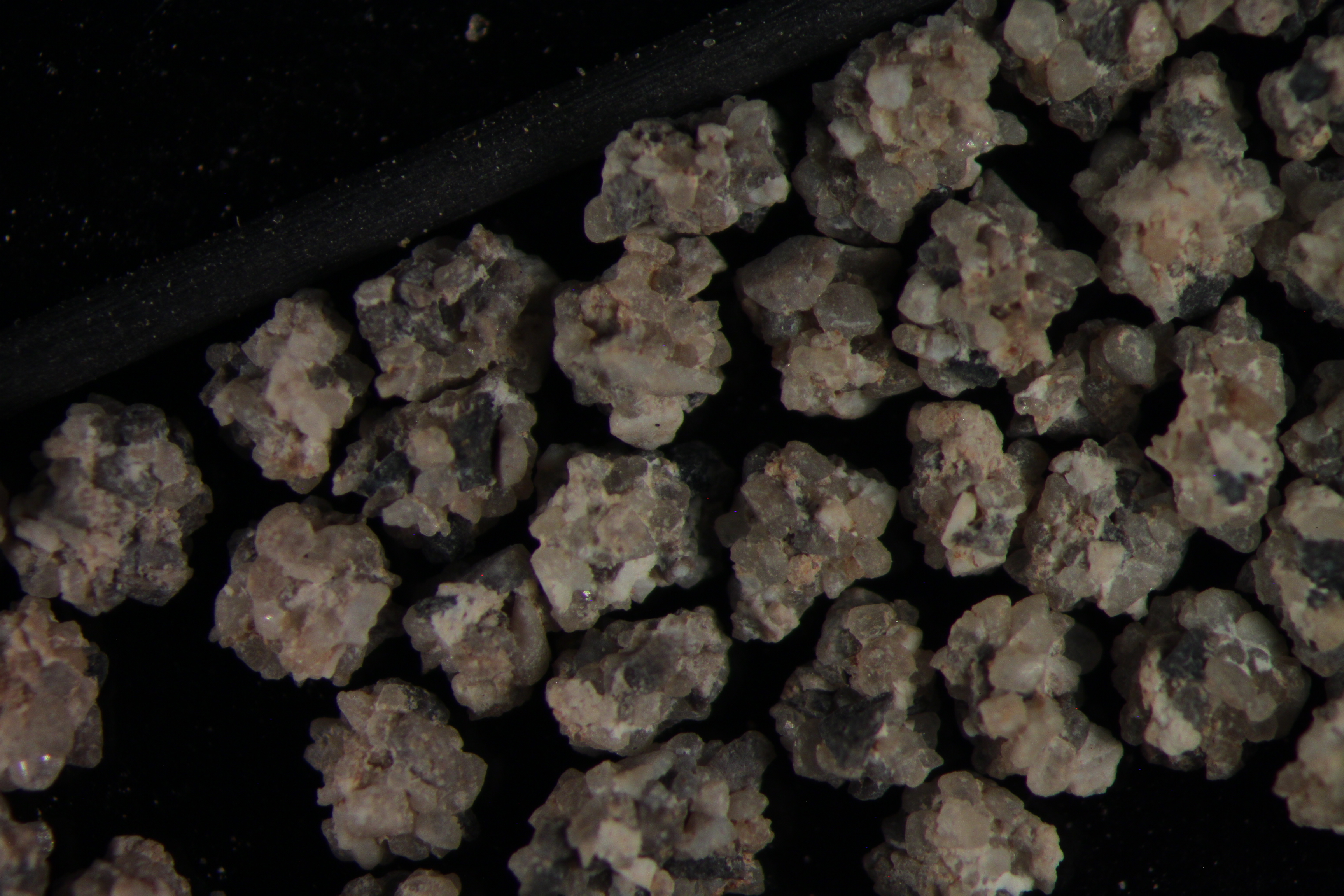
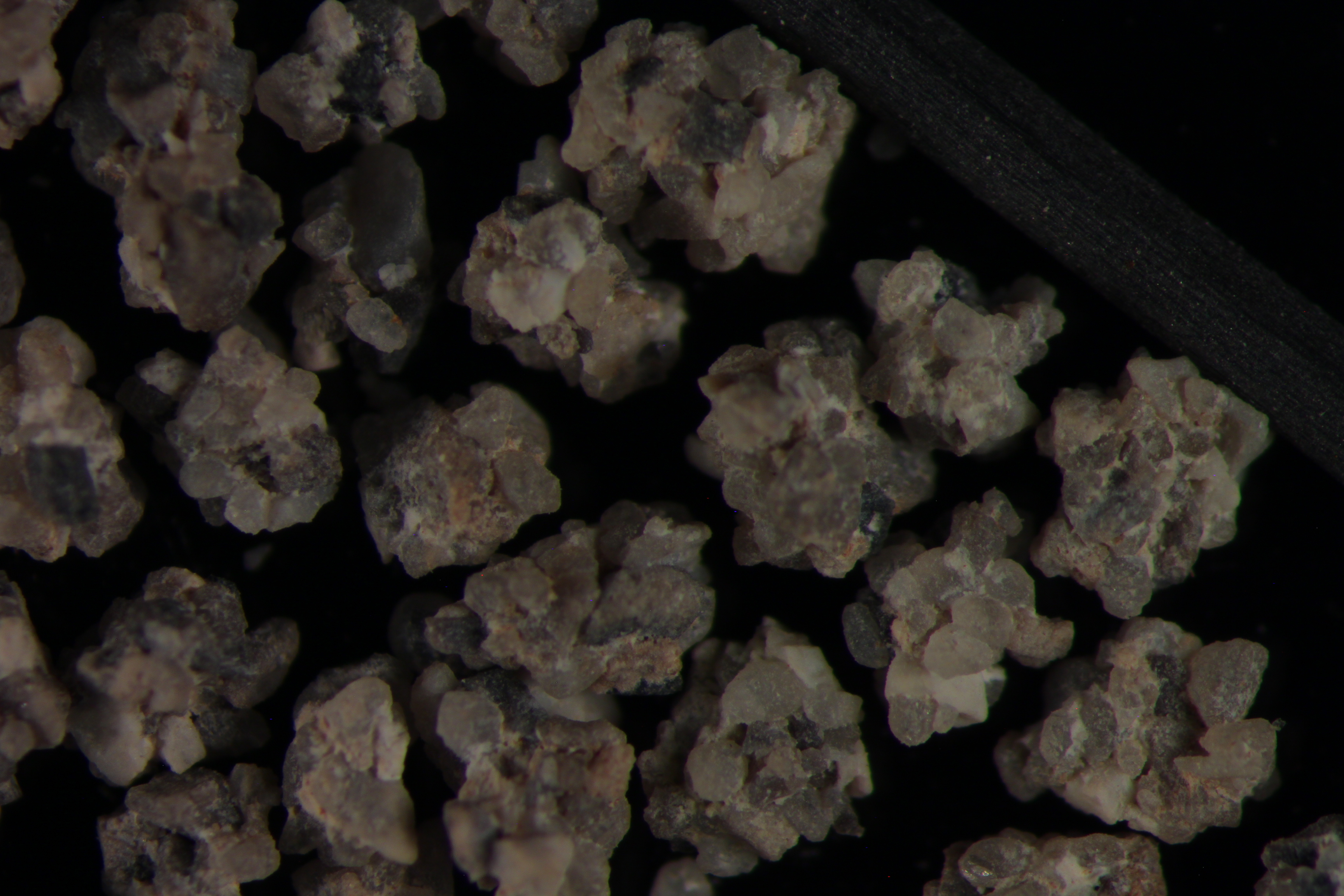
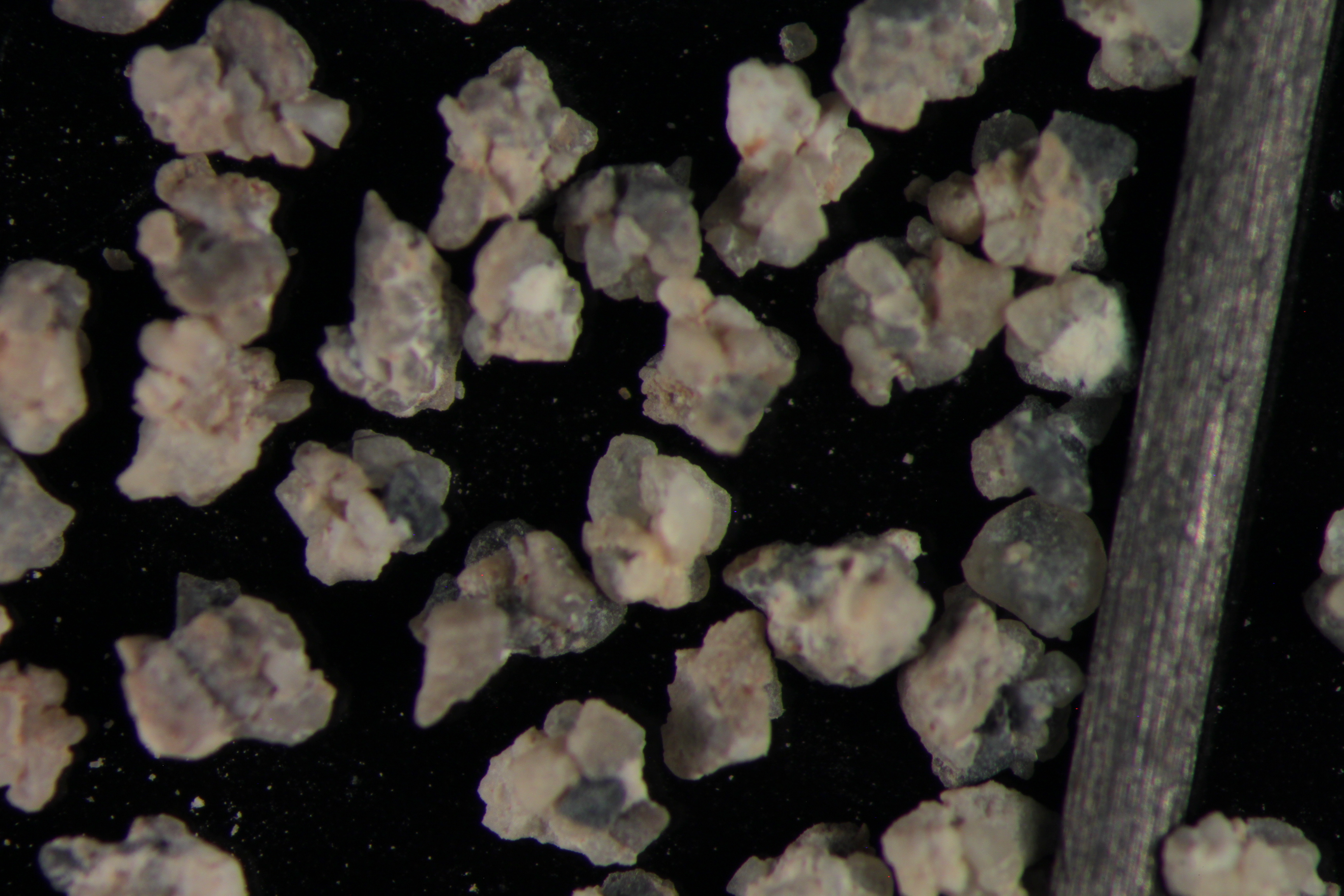
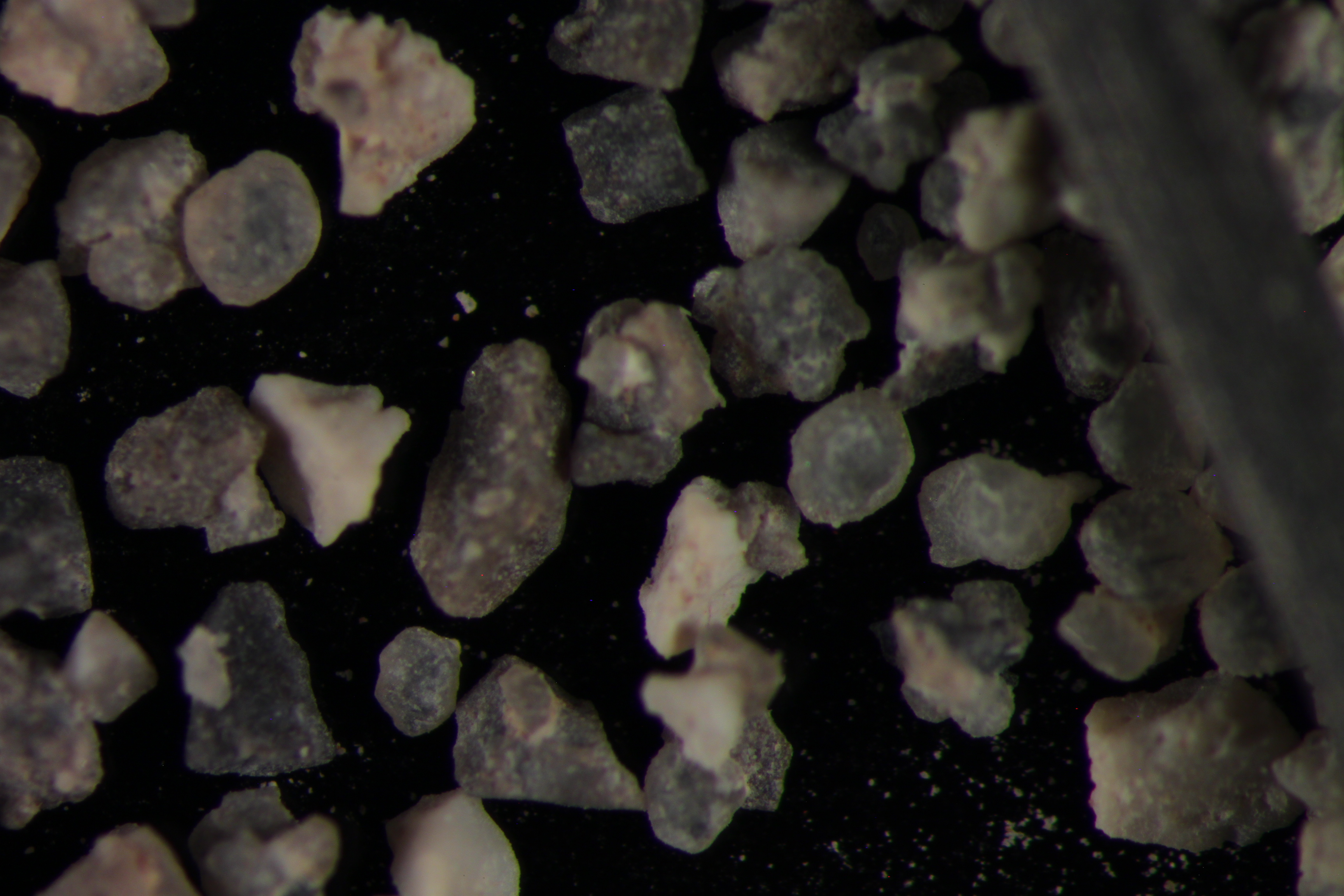
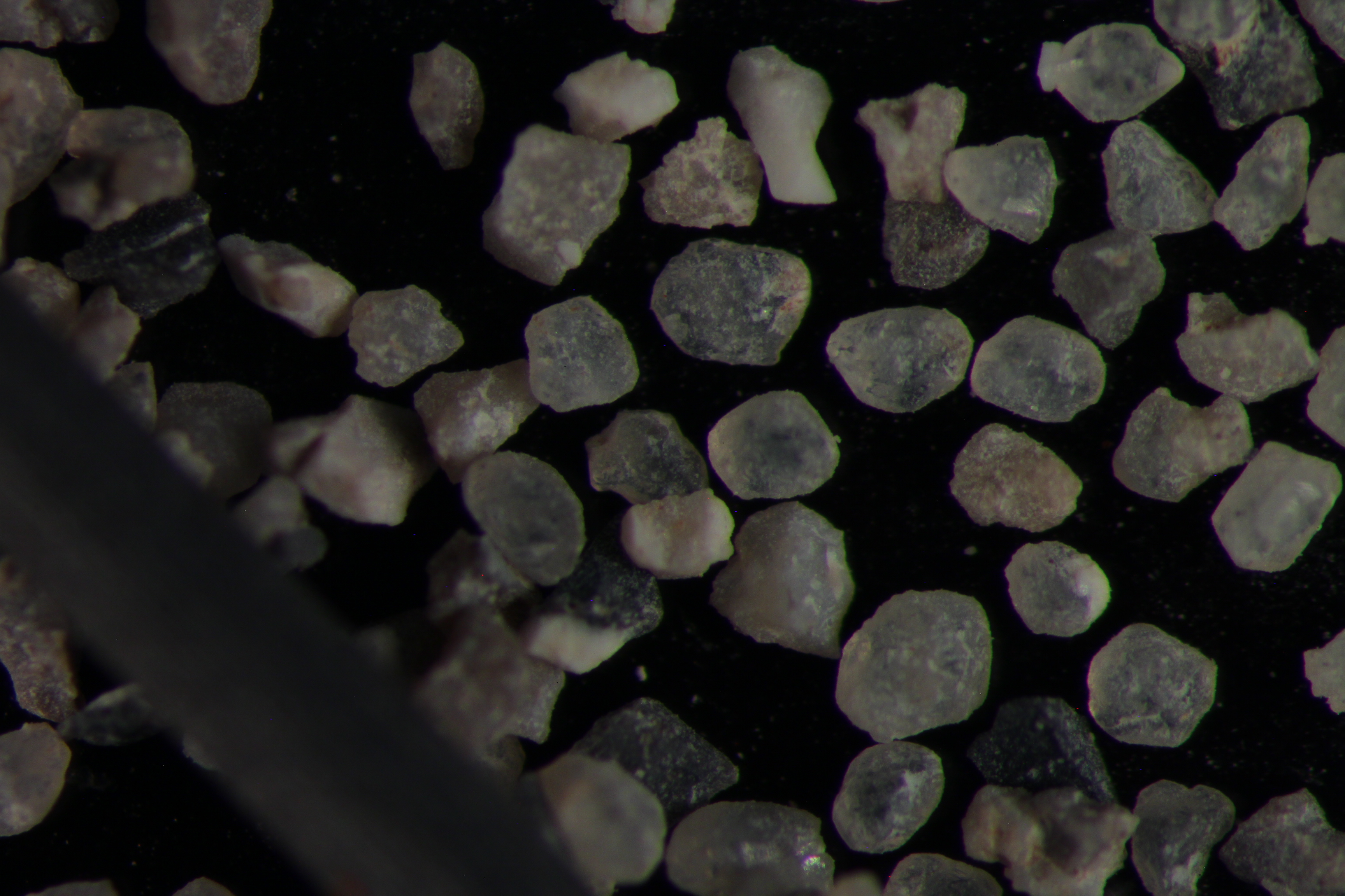
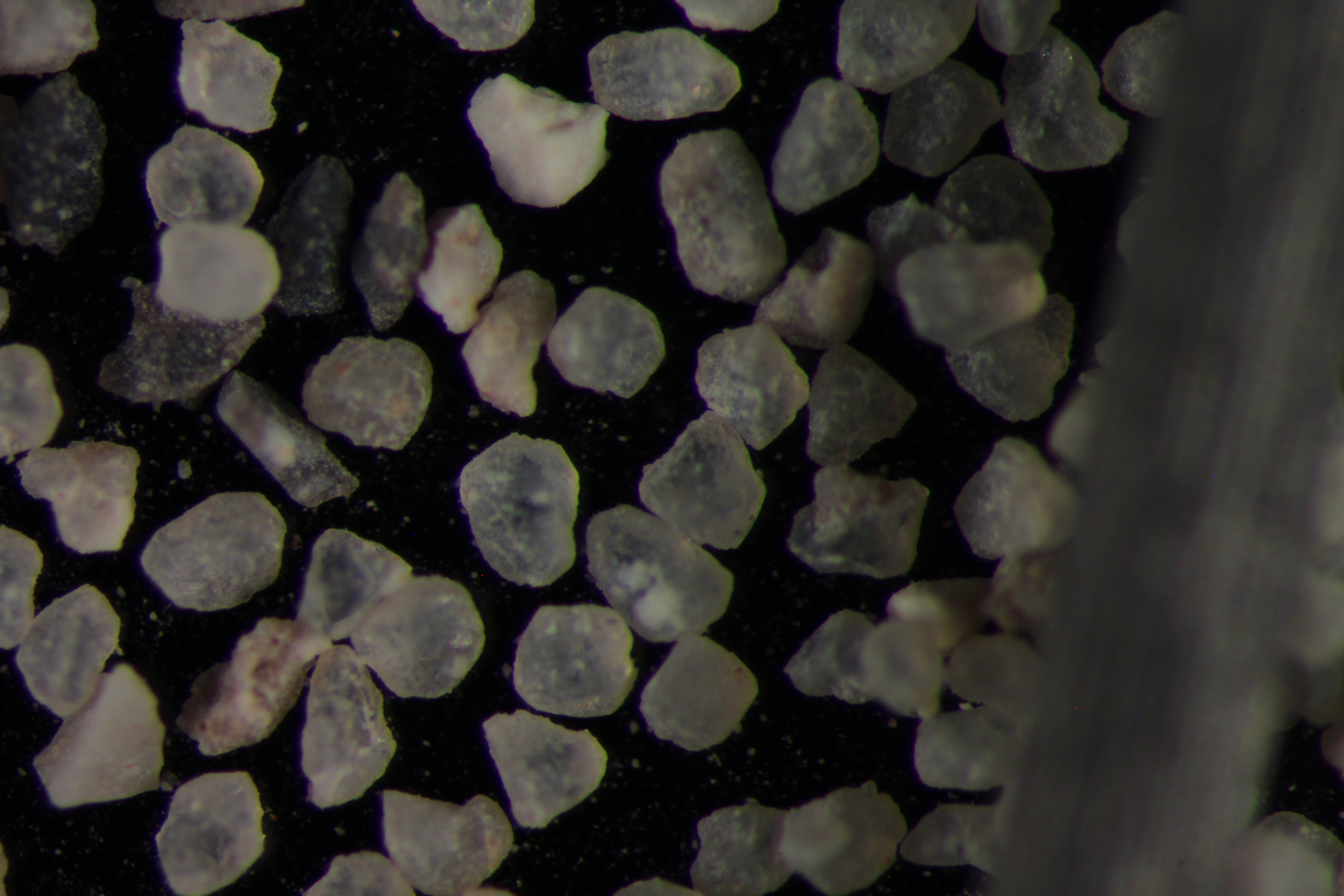
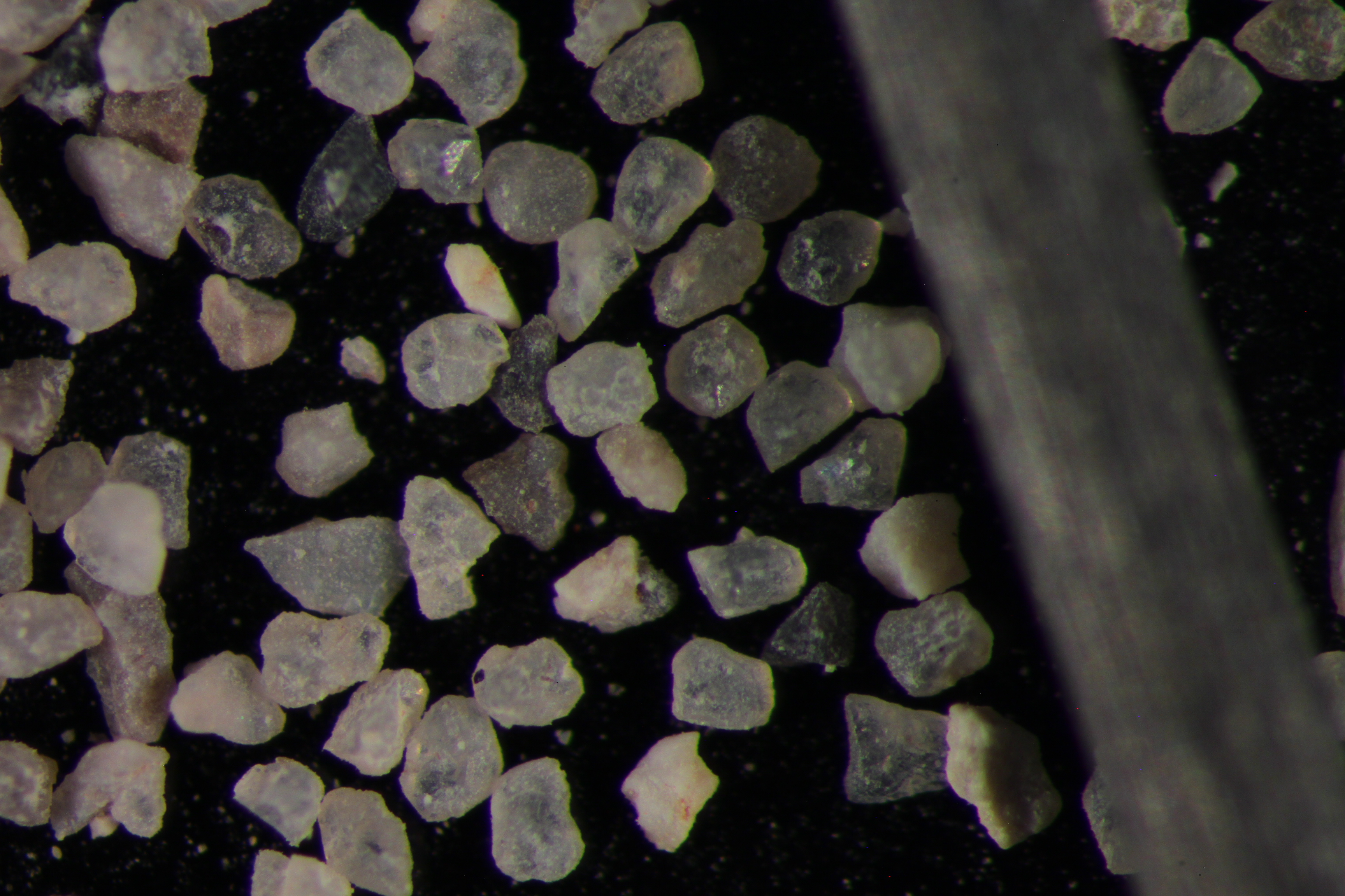
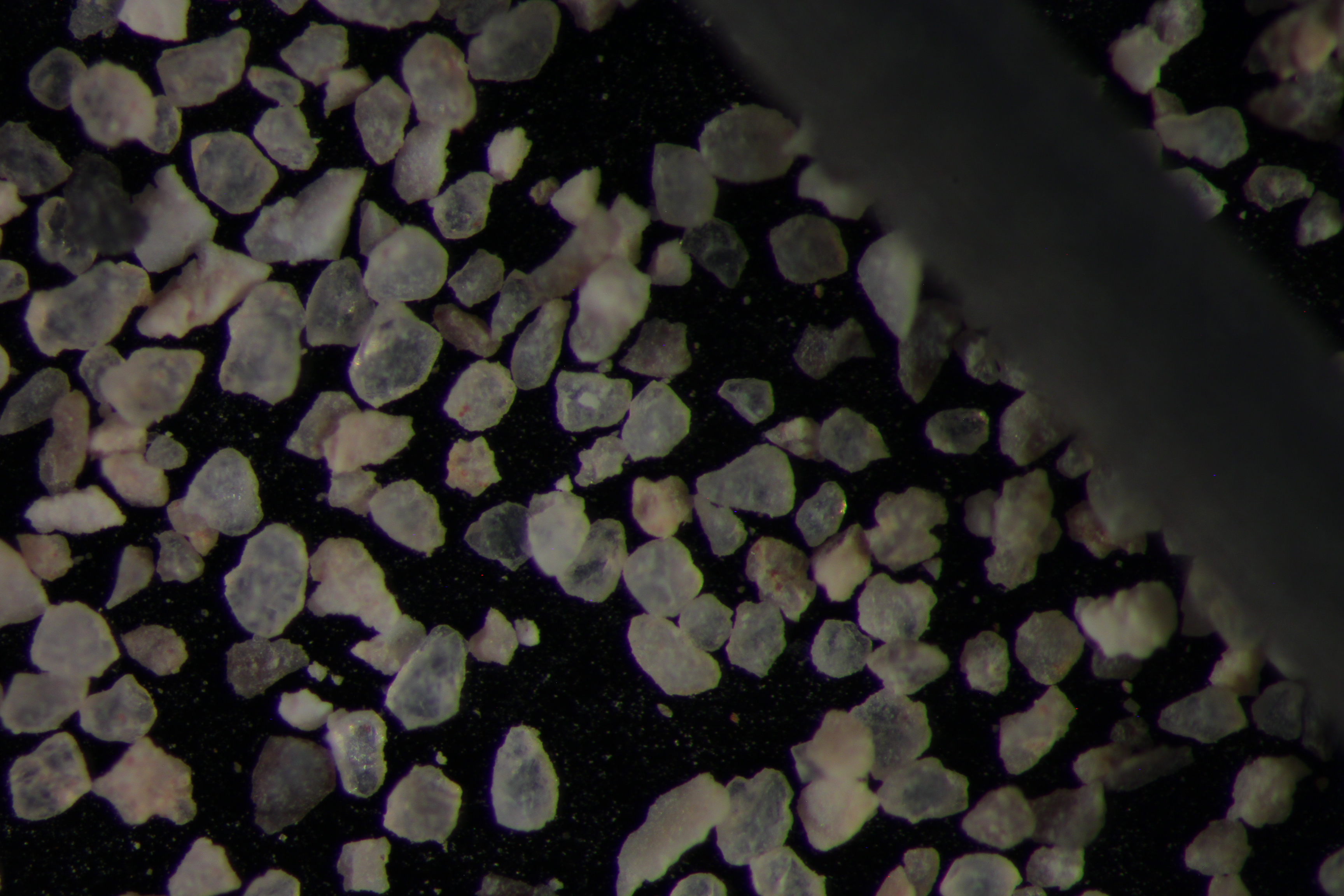
| Sampler Name | JAY GUNDERSON | Sampler Notes | SALT & PEPPER MED-COARSE (0.710-0.250MM) GRAINED CHERT & QTZ SS; 1-4" FLAGGY BEDDING, POORLY SORTED, SUBANGULAR |
| Thickness | 15 | Extent | 50 |
| References | |||
| Meets API Minimum Standards | Minerology | ||||||||||||||||||||||||||||||||||||||||||||||||||||||||||||||||||||||||
|---|---|---|---|---|---|---|---|---|---|---|---|---|---|---|---|---|---|---|---|---|---|---|---|---|---|---|---|---|---|---|---|---|---|---|---|---|---|---|---|---|---|---|---|---|---|---|---|---|---|---|---|---|---|---|---|---|---|---|---|---|---|---|---|---|---|---|---|---|---|---|---|---|---|
| NO | QUARTZ | ||||||||||||||||||||||||||||||||||||||||||||||||||||||||||||||||||||||||
| Pre Wash Weight (g) | Post Wash Weight (g) | ||||||||||||||||||||||||||||||||||||||||||||||||||||||||||||||||||||||||
| 560.9 | 523.6 | ||||||||||||||||||||||||||||||||||||||||||||||||||||||||||||||||||||||||
| Material Notes | |||||||||||||||||||||||||||||||||||||||||||||||||||||||||||||||||||||||||
|
Sieving Results Reported Sample Weight (g): 114
|
|||||||||||||||||||||||||||||||||||||||||||||||||||||||||||||||||||||||||
| Sphericity | 0.65 |
|---|---|
| Roundness | 0.59 |
| First Primary | 40 |
| Second Primary | 70 |
|
Available Documents  View document [C75_01_PRECRUSH1602016_1_5_10_21_23.pdf] View document [C75_01_SPHERE_ROUND1702016_1_5_10_21_41.pdf] View document [C75_01_5KCRUSH1722016_1_5_10_21_54.pdf] View document [C75_01_PRECRUSH1602016_1_5_10_21_23.pdf] View document [C75_01_SPHERE_ROUND1702016_1_5_10_21_41.pdf] View document [C75_01_5KCRUSH1722016_1_5_10_21_54.pdf] |
|