Proppant Research Group
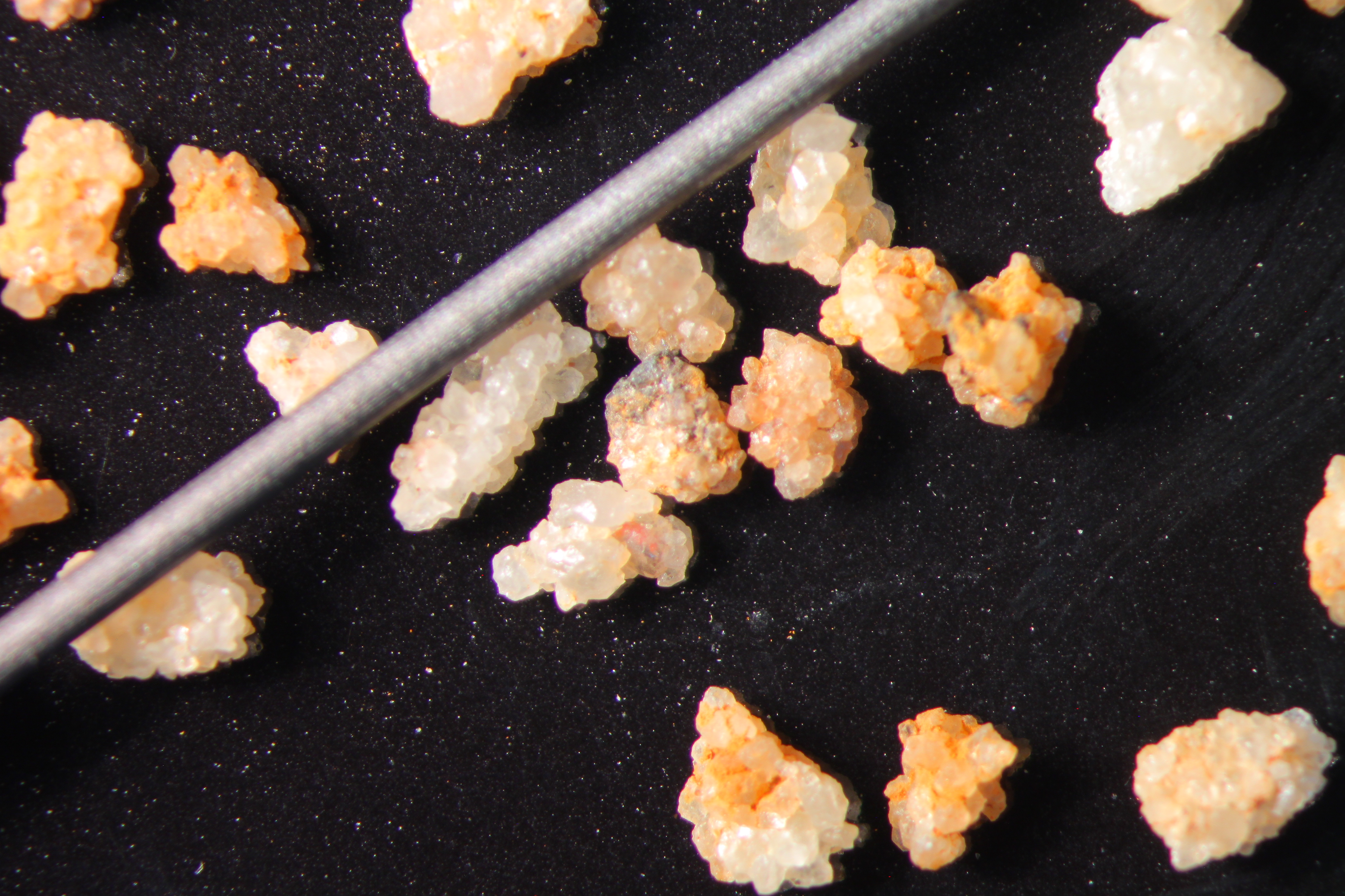
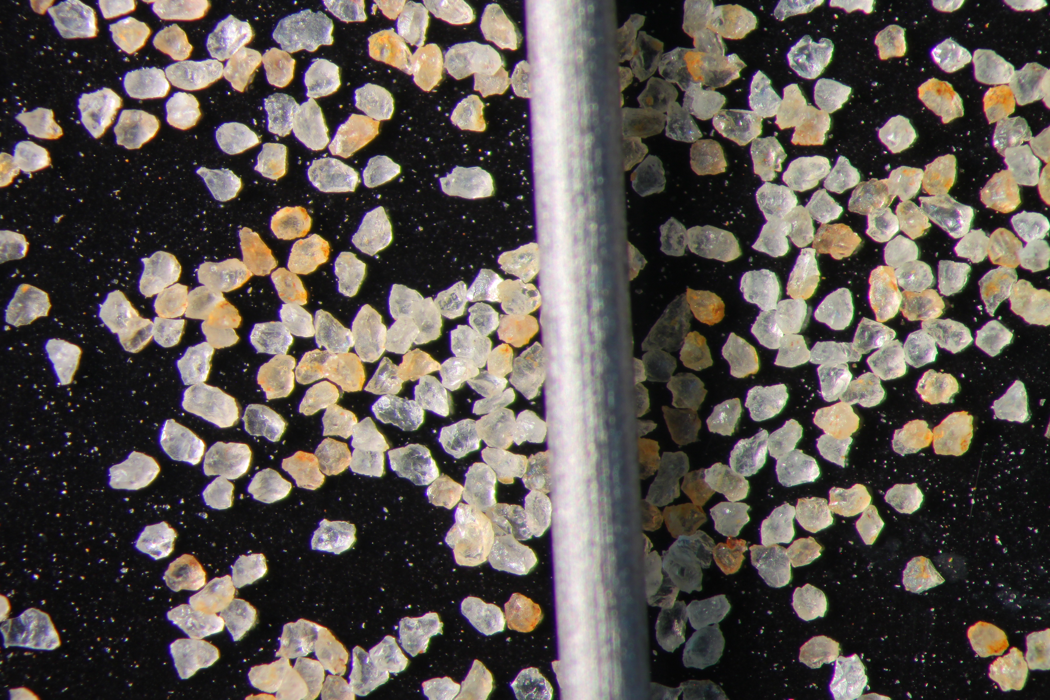
The data displayed below were collected during a joint project between the following departments at Montana Tech of The University of Montana: Geophysical Engineering and the Montana Bureau of Mines and Geology. The samples represent sandstones collected and analyzed for their potential use as proppant material.
| Sample Name | WSS-4-SV-14 | Site Name | WSS-SV-14 |
|---|---|---|---|
| Latitude | 46.858729 | Longitude | -110.668115 |
| Geomethod | NAV-GPS | Datum | WGS84 |
| Elevation | 6878 | Township | 13N |
| County | CASCADE | Range | 08E |
| 100K Quad | WHITE SULPHUR SPRINGS | Section | 26 |
| 24K Quad | KINGS HILL | Quarter Section | AC |
| Sample Taken | YES | ||
| Sample Date | 9/24/2014 | Formation Name | Flathead Formation (_f) |
| Sampler Name | SUSAN VUKE | Sampler Notes | ALONG HWY 89 SW PF RD 3228 |
| Thickness | INDETERMINATE; SAMPLED LOOSE BLOCK | Extent | LOOSE SS BLOCKS, EXTENSIVE, BUT MOSTLY IN WOODS |
| References | |||
| Meets API Minimum Standards | Minerology | ||||||||||||||||||||||||||||||||||||||||||||||||||||||||||||||||||||||||
|---|---|---|---|---|---|---|---|---|---|---|---|---|---|---|---|---|---|---|---|---|---|---|---|---|---|---|---|---|---|---|---|---|---|---|---|---|---|---|---|---|---|---|---|---|---|---|---|---|---|---|---|---|---|---|---|---|---|---|---|---|---|---|---|---|---|---|---|---|---|---|---|---|---|
| NO | QUARTZ | ||||||||||||||||||||||||||||||||||||||||||||||||||||||||||||||||||||||||
| Pre Wash Weight (g) | Post Wash Weight (g) | ||||||||||||||||||||||||||||||||||||||||||||||||||||||||||||||||||||||||
| 993.7 | 812.7 | ||||||||||||||||||||||||||||||||||||||||||||||||||||||||||||||||||||||||
| Material Notes | |||||||||||||||||||||||||||||||||||||||||||||||||||||||||||||||||||||||||
|
Sieving Results Reported Sample Weight (g): 90
|
|||||||||||||||||||||||||||||||||||||||||||||||||||||||||||||||||||||||||
| Sphericity | 0.64 |
|---|---|
| Roundness | 0.59 |
| First Primary | 30 |
| Second Primary | 50 |
|
Available Documents  View document [WSS_04_SV_14_PRECRUSH0422015_8_13_9_46_9.pdf] View document [WSS_04_CRUSH5K_020592015_8_13_9_49_34.pdf] View document [WSS_04_SV_14_SPHER_ROUND_500582015_8_13_10_24_8.pdf] View document [WSS_04_SV_14_PRECRUSH0422015_8_13_9_46_9.pdf] View document [WSS_04_CRUSH5K_020592015_8_13_9_49_34.pdf] View document [WSS_04_SV_14_SPHER_ROUND_500582015_8_13_10_24_8.pdf] |
|